
Taiwan Hiking Safety: Essential Packing List, Apps and Mountain Habits
Taiwan offers everything from city-edge trails to remote multi-day routes above 3,000 metres. This practical guide explains permits, weather checks, high-altitude risks, emergency contacts, what to pack, what to do when lost, and how a hiking safety app such as WayMe can support offline navigation, off-route alerts and live visibility.
Beautiful, accessible — and sometimes genuinely remote
Taiwan’s mountains are one of the island’s greatest attractions. Hikers can climb forested suburban peaks around Taipei, follow historic trails through central Taiwan, explore tropical limestone terrain in the south, or enter alpine landscapes that rise far above the clouds. For accessible starting points, explore our guide to three hikes near Taipei, Taichung and Kaohsiung. The same variety that makes Taiwan exciting also means that “going hiking” can describe very different levels of commitment.
A short urban hike may require heat management, water and careful navigation at unsigned junctions. A high-mountain itinerary can involve permits, a mountain hut, winter equipment, steep exposure, altitude illness, long stretches without mobile reception and an evacuation measured in hours rather than minutes. The route should determine the safety plan—not the popularity of the destination or the number of attractive summit photos online.
More people are entering Taiwan’s mountains
Taiwan’s National Fire Agency reported that mountain incidents increased from 179 cases in 2015 to 502 in 2025, involving 695 people. Rescue capability has also improved: the Ministry of the Interior reported a 93.24% rescue rate in 2025. The figures demonstrate both the scale of outdoor participation and the importance of preparation, location information and early reporting.
Sources: National Fire Agency mountain-safety report and Ministry of the Interior rescue update.
The purpose of a Taiwan hiking safety plan is not to remove uncertainty completely. That is impossible in a changing mountain environment. The goal is to create several opportunities to notice a problem early, make a conservative decision, communicate clearly and help rescuers narrow the search area if assistance becomes necessary.
One island, many hiking environments
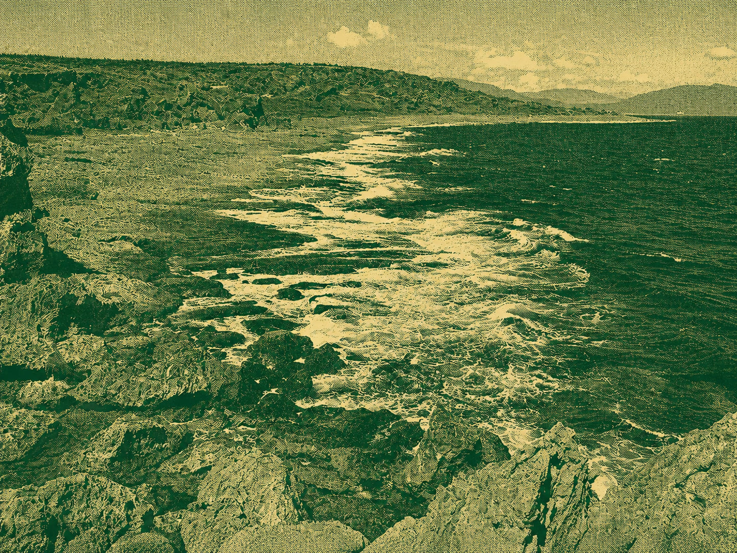
Swipe or scroll through a compact selection of Taiwan landscapes.






Recent Taiwan mountain incidents: practical lessons, not blame
The following cases illustrate different safety problems. They offer lessons about general precautions for future hikers and are not claims about the precise cause of an individual accident.
Phone location helped narrow an overnight search
A member of a 25-person hiking group did not return to the agreed meeting point. After the group confirmed her phone location, rescuers searched overnight and found her conscious near a valley the following day.
General safety lesson: Use headcounts, regroup at every junction and make sure every participant can share a live or last-known position. Location information can turn a broad mountain search into a more focused response.
A distress message was sent without coordinates
A solo hiker messaged his family that he had experienced a mountain emergency, but the report said he did not send coordinates or a photograph of the surrounding terrain. Search teams found him deceased several days later.
General safety lesson: When communication may be brief, send location first: coordinates, trail name, direction of travel, nearby landmarks, condition and battery level. “I need help” starts the response; a position helps define it.
Before you leave home: the Taiwan hiking safety checklist
A safer hike begins with a route that matches the group, current official information and a responsible person who knows what should happen if you are overdue.
1. Match the route to the group
- Check distance, total ascent, highest altitude, terrain, exposure and estimated time.
- Plan for the least-experienced person, not the strongest person.
- Distinguish between a maintained trail, an original mountain path and technical terrain.
- Identify reliable turnaround points, emergency shelters, water sources and exit routes.
- Do not convert a two-day route into a single-day push merely to avoid a hut booking.
2. Check permits and current access
- Use the Taiwan Hiking Application One-Stop Service to check whether entry or park permits are required.
- Confirm trail-open status, hut or campsite availability and required exit reporting.
- Read the latest notice from the relevant national park or forestry authority.
- Check the road to the trailhead; a hiking route can be open while the access road is restricted.
- Carry the permit or confirmation in the required form and keep an offline copy.
3. Check mountain weather, not city weather
- Use the Central Weather Administration’s mountain forecast for the nearest relevant peak.
- Review temperature, apparent temperature, rainfall probability, wind, humidity, sunrise and sunset.
- Check typhoon, heavy-rain, thunderstorm, low-temperature and earthquake-related information.
- Expect colder and windier conditions above the trailhead.
- Recheck conditions on the morning of departure and during the hike whenever communication is available.
4. Appoint a stay-behind contact
- Give your liúshǒurén or 留守人 the complete itinerary, participants, vehicle and equipment details.
- Share planned camps, huts, summit times, exits and possible alternative routes.
- Agree on check-in times and an exact overdue deadline.
- Explain what WayMe alerts or live-tracking information they may receive.
- Tell them who to call and what information to provide if you miss the escalation deadline.
Download essential information before the trailhead
Mountain reception is not a planning tool. Download the route, offline map, permit, emergency numbers, hut details and relevant closure notices while you have a reliable connection. Take screenshots of key junctions and your planned itinerary. Test that the route opens in airplane mode before leaving.
Set up WayMe before you reach the trailhead
Download your route and offline map, enable off-route alerts, and share your LiveTracking link with your stay-behind contact before mobile coverage becomes unreliable.
- Offline maps
- Off-route alerts
- LiveTracking
- Emergency-contact alerts
Download WayMe
Available for iPhone and Android. Set permissions, emergency contacts and offline maps while you still have a stable connection.


What to pack for hiking in Taiwan
A city-edge day hike and a remote high-mountain trip should not use the same packing list. Build your kit in layers: core equipment for every hike, additions for heat and rain, and stronger self-sufficiency for altitude or overnight routes.
Carry on almost every hike
- Water: enough for the route, weather and reliability of sources.
- Food: normal hiking food plus an untouched emergency reserve.
- Phone: fully charged, with location permissions configured.
- Power bank and cable: protected from moisture and cold.
- Downloaded route and offline map: checked before departure.
- Headlamp: even for a planned daylight return.
- Whistle: accessible without removing the backpack.
- First-aid kit: dressings, blister treatment, tape and items you know how to use.
- Personal medication: carried by the person who needs it, with a backup where appropriate.
- Sun and rain protection: hat, sunscreen and a waterproof layer.
- Suitable footwear: secure fit and grip for wet stone, roots, mud and loose ground.
- Identification, cash and transport backup: useful when the planned return changes.
Add for lower-altitude and summer hiking
- Additional water capacity and a realistic refill plan.
- Electrolytes for longer, high-sweat activity alongside water.
- Breathable sun coverage and a dry layer for the return journey.
- Insect repellent and appropriate protection against ticks or biting insects.
- Waterproof protection for electronics and documents.
- A small towel and blister-management supplies for prolonged humidity.
- Extra time: heat reduces sustainable pace and can make a familiar climb much harder.
Carry enough to survive an unplanned delay
- Warm mid-layer, insulated jacket, gloves and warm hat.
- Waterproof shell and spare dry clothing protected inside the pack.
- Emergency bivvy, blanket or shelter suitable for the route.
- Additional food and fuel margin for an unexpected night.
- Water treatment if natural sources are part of the plan.
- Paper map, compass and the skills to use them.
- Spare light or batteries; cold conditions shorten battery performance.
- Satellite communicator, satellite phone or PLB for routes beyond dependable cellular coverage.
- Season-specific equipment such as traction or technical protection only when trained to use it.
High-altitude hiking in Taiwan: recognise symptoms early
Taiwan makes it easy to reach high altitude quickly by road. That convenience does not mean the body has adapted. Yushan National Park advises that altitude illness may occur above approximately 2,500 metres and recommends acclimatising around 2,500 metres before climbing above 3,000 metres.
Watch for early signs
Possible symptoms include headache, nausea, vomiting, unusual fatigue, dizziness, poor sleep and reduced appetite. More serious warning signs include loss of balance, confusion, severe weakness, breathlessness at rest, persistent cough or a major change in behaviour.
Do not dismiss symptoms because a person is fit or has climbed the mountain before. Altitude illness can affect experienced hikers and can change from one trip to the next.
Do not continue ascending with worsening symptoms
Stop, assess and inform the group. Keep the person warm, reduce exertion and seek professional advice. If symptoms worsen or serious signs appear, descent is the central response and urgent medical help may be required.
Preventive medication is a medical decision. Discuss suitability, contraindications and dosing with a qualified clinician before the trip; do not share another hiker’s medication.
Summit goals never outrank neurological or breathing symptoms
Confusion, inability to walk normally, collapse or breathlessness at rest are emergency signs. Stop ascending, begin safe descent when possible and contact emergency services. A person with significant symptoms should not be sent down alone.
Reference: Yushan National Park guidance on altitude physiology, prevention and response.
Mountain habits that stop small problems becoming emergencies
Equipment is useful only when the group follows a disciplined plan. Build these behaviours into routine hikes before relying on them in difficult conditions.
Keep the group together
Nominate a leader and a back marker. Regroup at the junction itself, not somewhere after it. Count the group after breaks, summit stops and major terrain changes. Nobody should leave the route alone without the leader knowing.
Stop at the first navigation doubt
Do not keep descending because a faint path “must connect later.” Check the route line, recent track and terrain. An off-route alert is a reason to pause immediately. Returning a short distance is easier than climbing out of the wrong valley.
Respect a real turnaround time
Set the time before starting and include slower descent, weather changes and route-finding delays. A summit that looks close can still require significant time. Continuing after the safe margin has gone converts a choice into a rescue risk.
Protect power and communications
Keep the phone warm and dry, reduce unnecessary screen use and carry the power bank where it can be reached. Test the satellite device before departure. A device in the backpack with an expired subscription is not a safety system.
Do not linger in hazard zones
Move efficiently through landslide areas, rockfall channels and exposed crossings. Do not stop for photographs beneath unstable slopes. After heavy rain or an earthquake, assume the trail may differ from older descriptions and turn back when passage is unsafe.
Taiwan hiking safety apps and official websites
A strong digital setup gives each tool a distinct job. Use WayMe for route awareness and remote visibility, the official 119 app for emergency reporting, Central Weather Administration services for current conditions, and government websites for permits and trail status.
WayMe: offline navigation, off-route alerts and live visibility
WayMe supports the part of the hike where early information can change the outcome. Configure it before leaving the trailhead and explain the monitoring plan to your emergency contact.
Off-route alerts
WayMe uses GPS and virtual geofences to notify you when your position moves outside the expected area around the planned route. The alert is a prompt to stop, compare the map with the terrain and return to the last confirmed point before the error becomes larger.
LiveTracking
Share a private link with the person monitoring your hike so they can follow progress and location while connectivity is available. This provides more useful context than occasional text messages and can help show where movement stopped or slowed.
Progress and overtime alerts
WayMe compares progress with the planned hike. If you are behind schedule or become unresponsive and do not answer prompts, the system can alert your designated emergency contact with a link to the last known location.
Offline maps and route access
Download the route before departure so the map remains available without mobile data. GPS positioning can often continue without a data connection, but accuracy, terrain, permissions, battery and device condition all affect performance.
119 Emergency Reporting App
Taiwan’s National Fire Agency provides the official 119 Emergency Reporting App. It can send GPS coordinates to the local 119 dispatch centre, supports voice or text reporting, and allows users to upload photographs or video of the scene. The app can also notify a saved contact when a text report is submitted.
Install and open it before the trip so permissions and contact settings are already configured. It still requires a usable communications connection and should not be described as a satellite service. When an emergency is urgent, use the fastest available method to contact 119.
Central Weather Administration W and mountain forecasts
The official CWA W app provides forecasts, observations, radar and push notifications for severe weather, typhoons and earthquakes. For mountain planning, also use the Central Weather Administration’s dedicated mountaineering forecasts, which provide route-relevant temperature, apparent temperature, rain probability, humidity, wind, sunrise and sunset information.
Taiwan Hiking Application One-Stop Service
The official one-stop website consolidates permit applications, application status, route-open notices, hut and campsite searches, park information and exit reporting. Check it shortly before departure: closures can change rapidly after typhoons, earthquakes or maintenance, and a permit issued earlier does not make a closed route safe or legal to enter.
Taiwan Forest Recreation and national park websites
Use the relevant authority’s trail page for route classifications, terrain notes, geological hazards, recommended equipment, communications reference points and current announcements. Taiwan’s forestry guidance recommends hiking with companions, avoiding shortcuts, carrying GPS and communication equipment, sufficient batteries, and considering satellite phones or a personal locator beacon on appropriate routes.
What to do if you become lost or injured in Taiwan’s mountains
The urge to keep moving can take a hiker into steeper ground, dense vegetation or a drainage channel that is harder to escape. Once you suspect a navigation problem, make the search area smaller rather than larger.
- Stop moving. Do not continue down an unknown valley or stream because it appears to lead toward a road.
- Move only to avoid immediate danger. Keep clear of unstable slopes, rockfall, rising water, cliff edges and exposed ridges during lightning.
- Establish the last confirmed point. Review the route, recent track, time, elevation, photographs and known junctions.
- Retrace only when the route behind is clear and safe. Do not force a return over terrain you cannot climb safely.
- Send location first. Share coordinates, trail name, direction, nearest landmark, condition, group size, clothing, shelter and battery level.
- Call 119. If your own mobile network is unavailable but another carrier has signal, try 112 and follow the menu for rescue assistance. Neither number works where there is no terrestrial signal at all.
- Activate the satellite device when appropriate. Follow the device instructions and keep it positioned for a clear view of the sky.
- Conserve battery and body heat. Reduce unnecessary phone use, add insulation before becoming cold and protect yourself from wind and rain.
- Make yourself detectable. Use a whistle, light, bright clothing and a visible safe location. Avoid moving after rescuers have a reliable position unless conditions force relocation.
- Keep the stay-behind contact updated. Tell them when you communicate with rescuers and whether your position or condition changes.
A useful emergency message
Location: latitude/longitude or a shared map point. Route: trail, last waypoint and direction. People: number in the group. Problem: injury, lost, altitude symptoms or weather exposure. Resources: shelter, food, water, clothing, phone battery and satellite device. Plan: staying in place unless emergency services instruct otherwise.
Taiwan hiking safety FAQ
Do I need a permit to hike in Taiwan?
Some national park, ecological-protection and controlled mountain routes require advance applications, while many lower-altitude trails do not. Check the Taiwan Hiking Application One-Stop Service and the relevant park or forestry authority for the exact route and date.
What is the emergency number for hikers in Taiwan?
Call 119 for fire and emergency medical rescue. You can also try 112 from a mobile phone when your own carrier is unavailable but another local carrier has signal; follow the menu for rescue. Neither ordinary cellular number provides coverage where no terrestrial network is available.
What is the best hiking safety app for Taiwan?
No single tool covers every task. WayMe provides route planning, offline maps, off-route alerts, LiveTracking and emergency-contact workflows. Pair it with Taiwan’s official 119 Emergency Reporting App, Central Weather Administration services, permit and trail-status websites, and satellite equipment on remote routes.
Can WayMe work without mobile reception?
Downloaded offline maps and route access can work without mobile data, and GPS positioning may continue. LiveTracking updates and emergency-contact messages require usable connectivity. For routes beyond dependable mobile coverage, carry an appropriate satellite communicator, satellite phone or PLB.
What is a stay-behind contact or 留守人?
This is a responsible person who is not on the hike and holds the itinerary, participant details, planned check-ins and overdue deadline. They monitor the plan, receive tracking information where available and know when and how to contact emergency services if the group does not report back.
At what altitude can mountain sickness occur in Taiwan?
Altitude illness can occur around 2,500 metres and above, although susceptibility varies. Headache, nausea, dizziness and unusual fatigue should be taken seriously. Do not continue ascending with worsening symptoms; serious balance, mental-status or breathing changes require urgent descent and medical help.
Make safety part of every Taiwan mountain plan
Before your next hike, check the route’s current status, permits and mountain forecast. Give a stay-behind contact the itinerary and overdue deadline. Pack for an unexpected delay, download the route and understand where mobile coverage may end.
In WayMe, prepare the offline map, activate the safety features appropriate to the hike and share your LiveTracking link before departure. Combine that visibility with Taiwan’s official emergency, weather and permit services—and add satellite communication when the route is truly remote.
Official guidance and incident sources
- National Fire Agency: 2026 mountain activity safety and rescue update
- Ministry of the Interior: mountain rescue performance and incident causes
- National Fire Agency: 119 Emergency Reporting App
- Central Weather Administration: mountain forecasts
- Central Weather Administration W app
- Taiwan Hiking Application One-Stop Service
- Taiwan Forest Recreation trail and safety information
- Yushan National Park: altitude illness prevention and response
- CNA: Hehuan East Peak group-separation rescue
- CNA: Xiluan Mountain search and missing location information
- CNA: Zhijiayang–Xueshan solo-hiker search
- WayMe product and safety features
- WayMe support and feature explanations