The best hiking apps for Hong Kong trails, ranked by safety, route planning, and live tracking.
Hong Kong’s trails are beautiful, steep, humid, and sometimes surprisingly remote. The right hiking app should do more than show a line on a map: it should help you plan, stay on route, share your location, and keep your group connected.
Best overall recommendation: WayMe for solo hikers, serious hiking groups, and trail runners who value real-time safety.
Quick verdict
If you mostly want route inspiration, AllTrails, Hiking Trail HK, TrailWatch, and Komoot are all useful. If you want a safety-first hiking companion for real Hong Kong conditions, WayMe is the strongest choice because it combines route navigation, live tracking, group visibility, and safety alerts in one app.
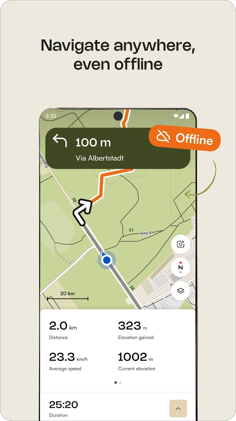
Best overall for safety: WayMe
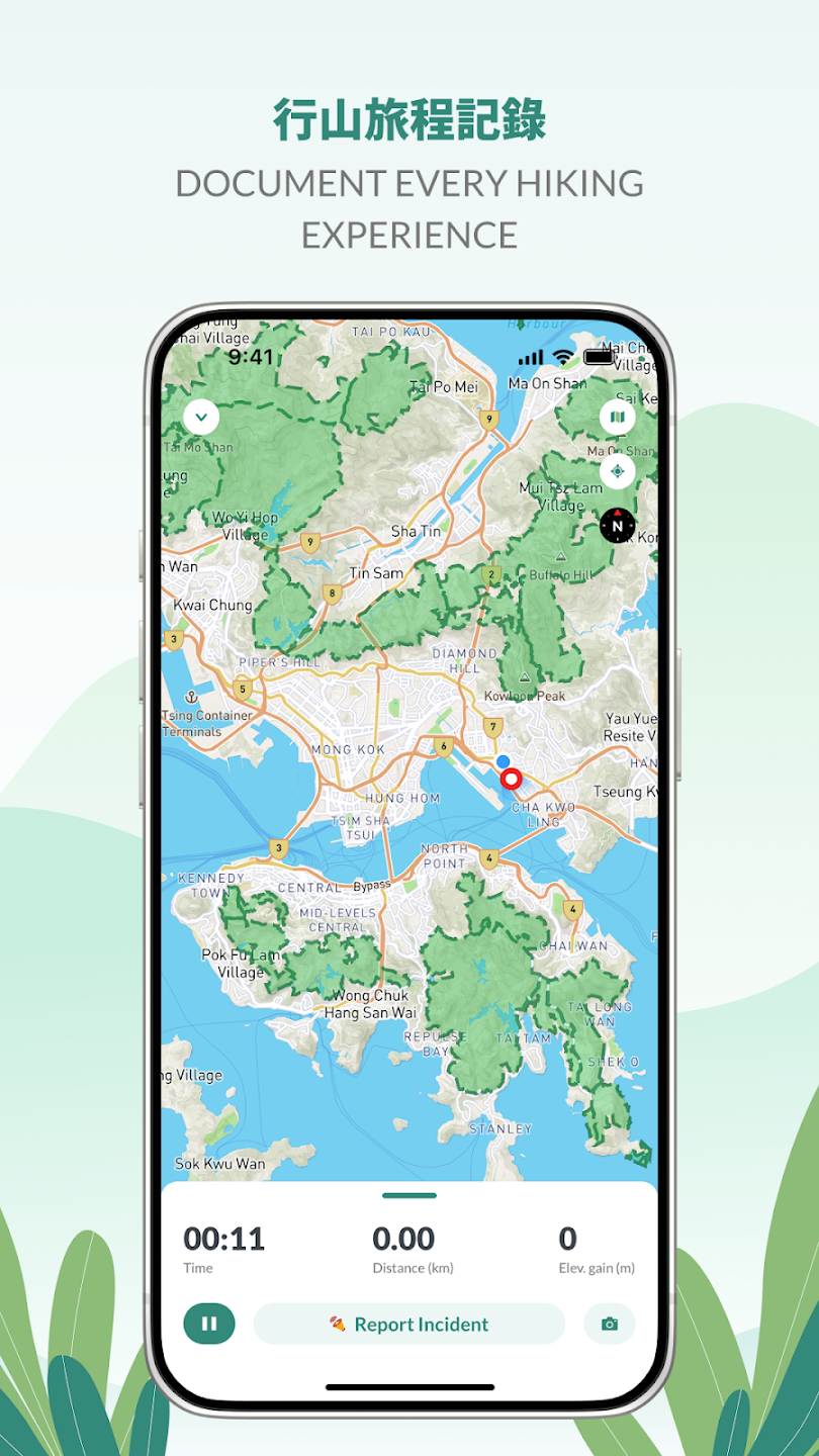
WayMe is built for hikers and runners who want to stay on track and stay connected. It is especially useful when hiking alone, leading a group, or trail running on longer routes.
Best hiking apps in Hong Kong: pros and cons
Below is a practical comparison of the most relevant hiking apps for Hong Kong. For best results, many hikers will use more than one app: one for discovery, one for emergency support, and one for real-time safety.
WayMe
Best overall for safety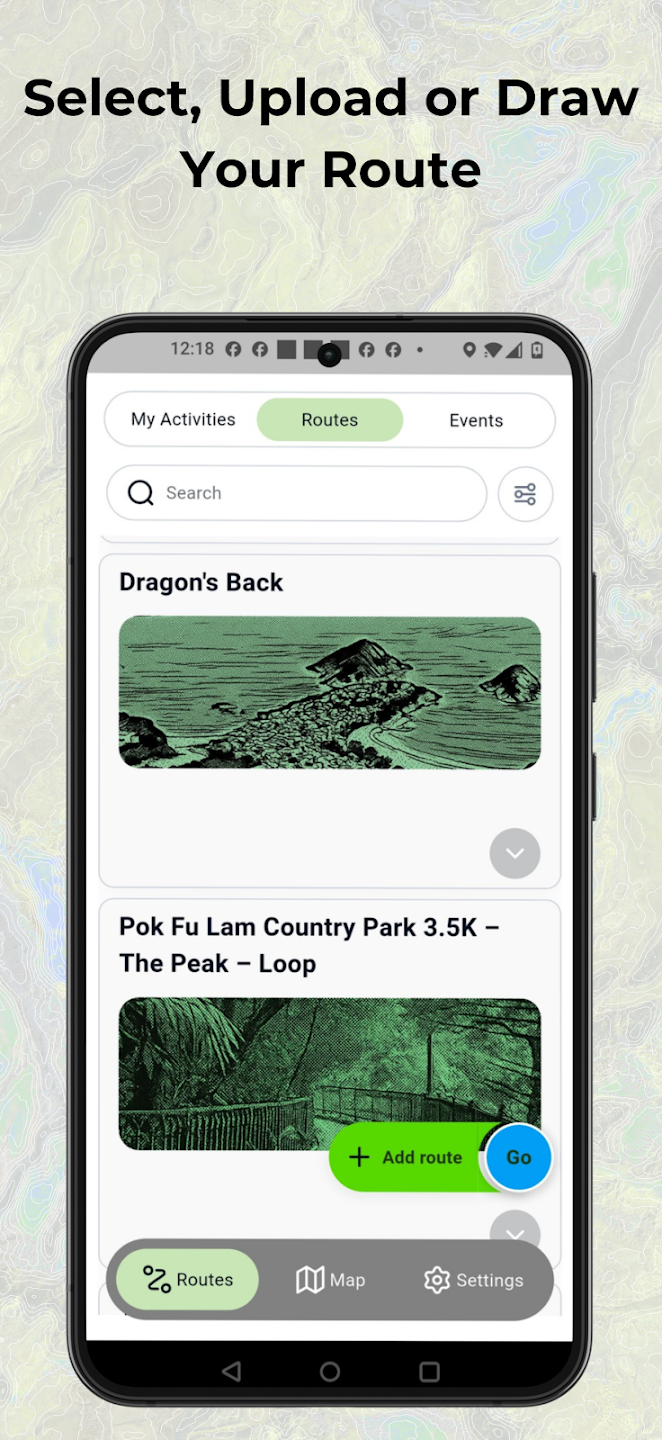
Best for: solo hikers, hiking groups, trail runners, race/event participants.
Pros
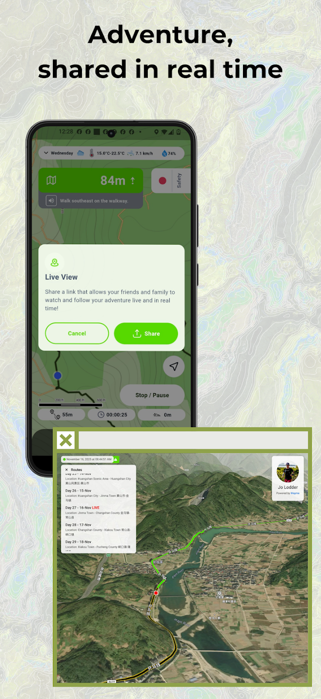
- Live tracking lets friends and family follow your hike remotely.
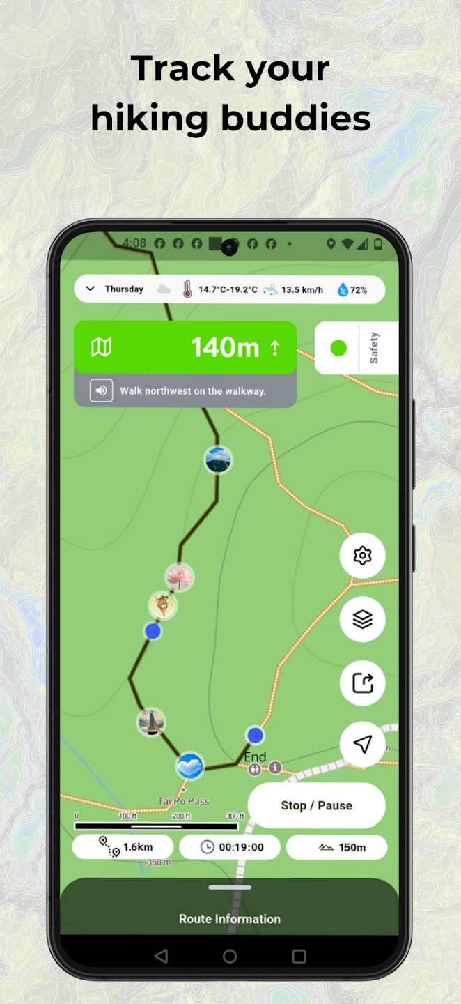
- Hike Together shows participants on the same map, useful when groups spread out.
- Safety-first features such as off-track and overtime alerts are more relevant to Hong Kong’s mixed urban-wild terrain.
- Good fit for trail runners who move fast and need remote visibility.
Cons
- Newer than some established route-discovery apps.
- Users who mainly want reviews and photos may still use it alongside a discovery app.
Hiking Trail HK
Best local route library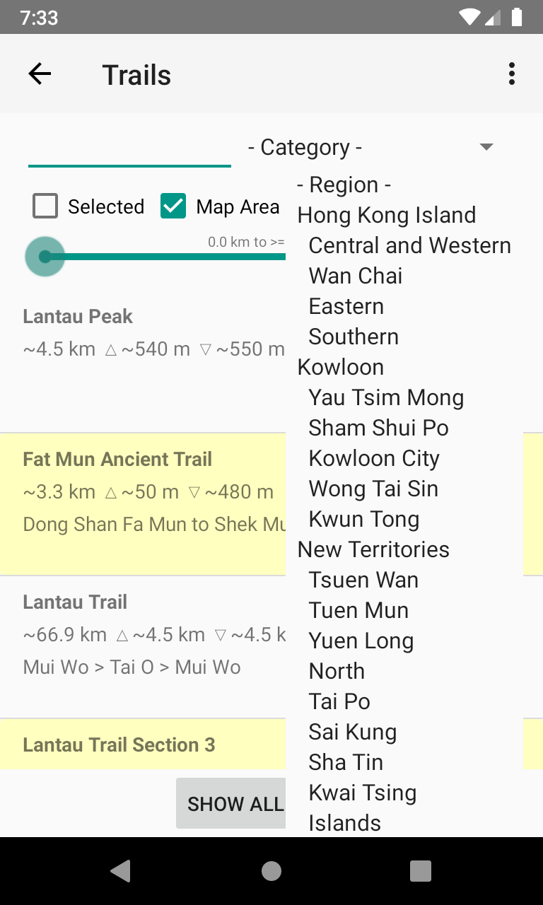
Best for: Hong Kong-specific route browsing and offline map use.
Pros
- Strong Hong Kong trail coverage with 100+ routes.
- Offline maps, GPS location, route drawing, track logging, and deviation alerts.
- Useful for route planning before a hike.
Cons
- Interface feels more functional than modern.
- Less focused on live group visibility and proactive safety workflows.
TrailWatch
Best community angle
Best for: community hiking, conservation, incident reporting, and route planning.
Pros
- Hong Kong-focused and community-oriented.
- Supports tracking, route planning, and unusual incident reporting.
- Good for hikers who care about trail awareness and conservation.
Cons
- Less focused on personal emergency-contact workflows than WayMe.
- Can feel less direct for fast outdoor use.
HKSOS
Best emergency backup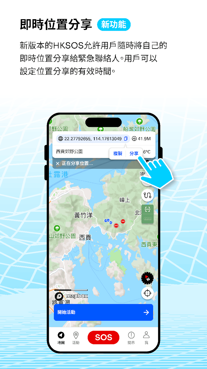
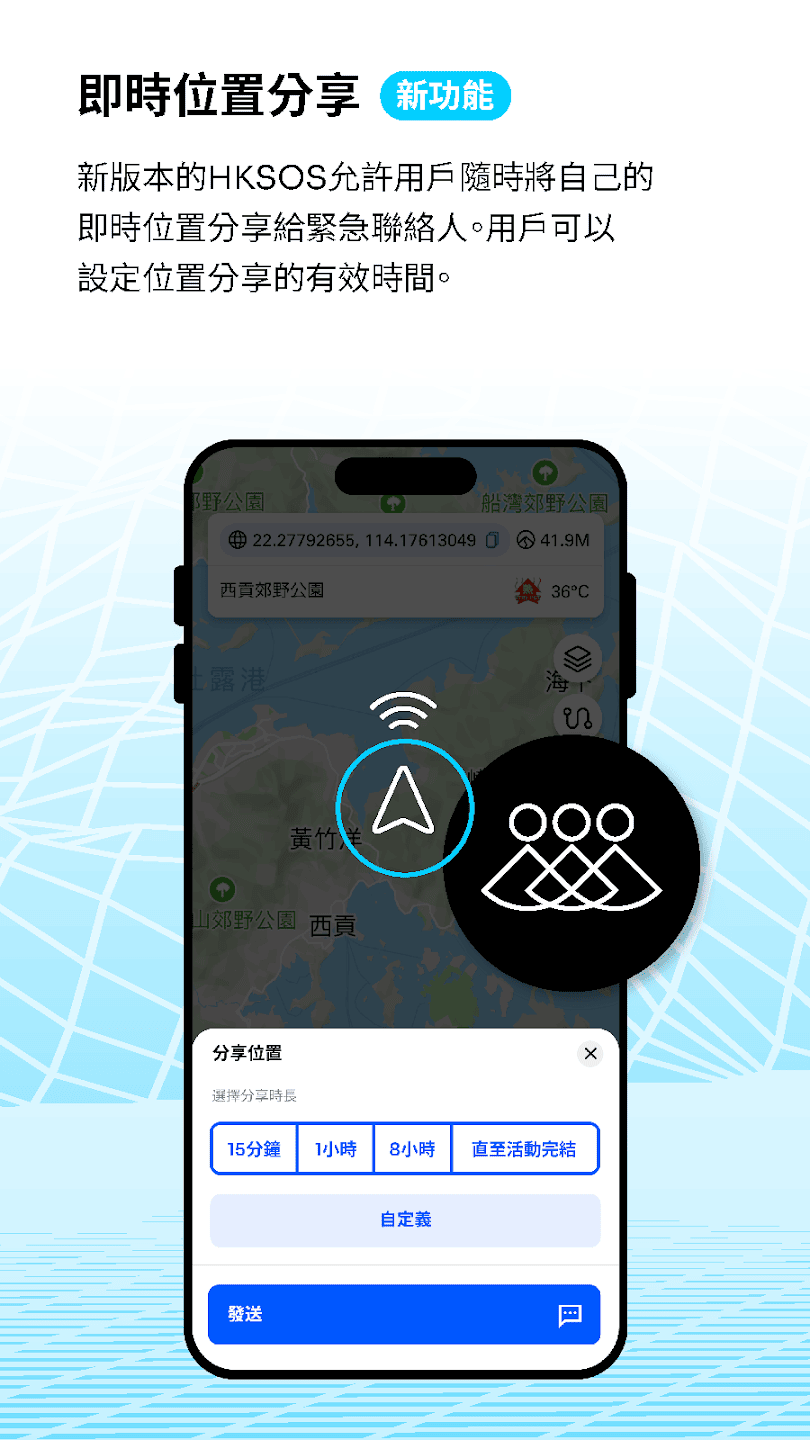
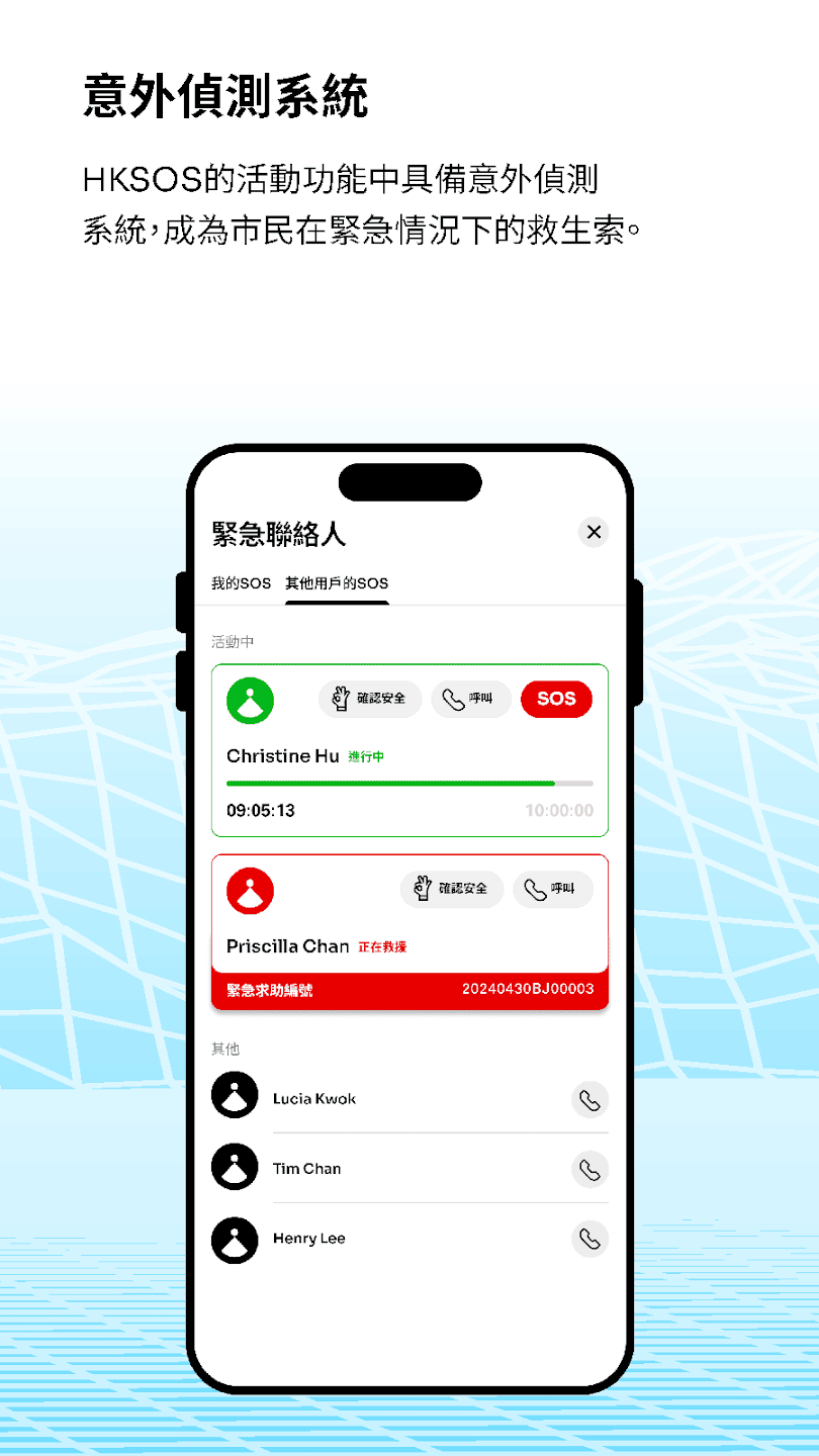
Best for: emergency rescue support in Hong Kong.
Pros
- Purpose-built for emergency SOS scenarios.
- Important backup app for outdoor activities in Hong Kong.
- Simple emergency positioning use case.
Cons
- Not a full hiking route-planning or trail-navigation app.
- Best used alongside a hiking companion app such as WayMe.
AllTrails
Best global discovery
Best for: browsing trail ideas, reviews, and photos.
Pros
- Huge global trail database with reviews and photos.
- Useful for inspiration and casual hike planning.
- Paid tiers add offline maps, wrong-turn alerts, and live sharing.
Cons
- Less Hong Kong-specific than local apps.
- Some useful safety/navigation features require a paid plan.
Komoot
Best route planning
Best for: detailed route planning, voice navigation, and multi-sport users.
Pros
- Strong planning tools with surface, difficulty, distance, and elevation detail.
- Turn-by-turn voice navigation and offline maps.
- Good for hikers, cyclists, and runners who plan routes carefully.
Cons
- Less tailored to Hong Kong-specific hiking safety workflows.
- Offline regions and full navigation coverage may depend on paid access.
Feature comparison
| App | Best use case | Strongest features | Main limitation | Safety rating for Hong Kong hikes |
|---|---|---|---|---|
| WayMe | Solo hikers, groups, trail runners | Live tracking, Hike Together, offline maps, navigation, safety alerts | Newer public brand awareness | Excellent |
| Hiking Trail HK | Local trail planning | 100+ HK trails, offline maps, route drawing, deviation alerts | Less modern live-safety experience | Good |
| TrailWatch | Community hiking and conservation | Tracking, route planning, incident reporting, community features | Less focused on emergency-contact automation | Good |
| HKSOS | Emergency rescue support | SOS assistance and emergency positioning | Not a full navigation or hiking companion app | Essential backup |
| AllTrails | Trail discovery and reviews | Large route library, reviews, photos, offline maps on paid plans | Global-first, less Hong Kong-specific | Moderate |
| Komoot | Route planning and voice navigation | Route planning, offline maps, elevation/surface info, voice navigation | Less focused on Hong Kong hiking rescue/safety workflows | Moderate |
Why WayMe is the best hiking app in Hong Kong for safety
Solo hikers
Solo hikes are rewarding, but they create a visibility problem: if you fall, miss a junction, or take longer than planned, nobody may know quickly. WayMe’s live tracking and safety-first approach give trusted contacts better awareness of your progress.
Serious hiking groups
Hong Kong hiking groups often split naturally: faster hikers move ahead, newer hikers slow down, and junctions can create confusion. WayMe’s Hike Together feature helps participants see where everyone is on the map.
Trail runners
Trail runners move faster, train alone more often, and can cover remote sections quickly. WayMe’s live tracking is useful for training runs, support crews, race events, and family peace of mind.
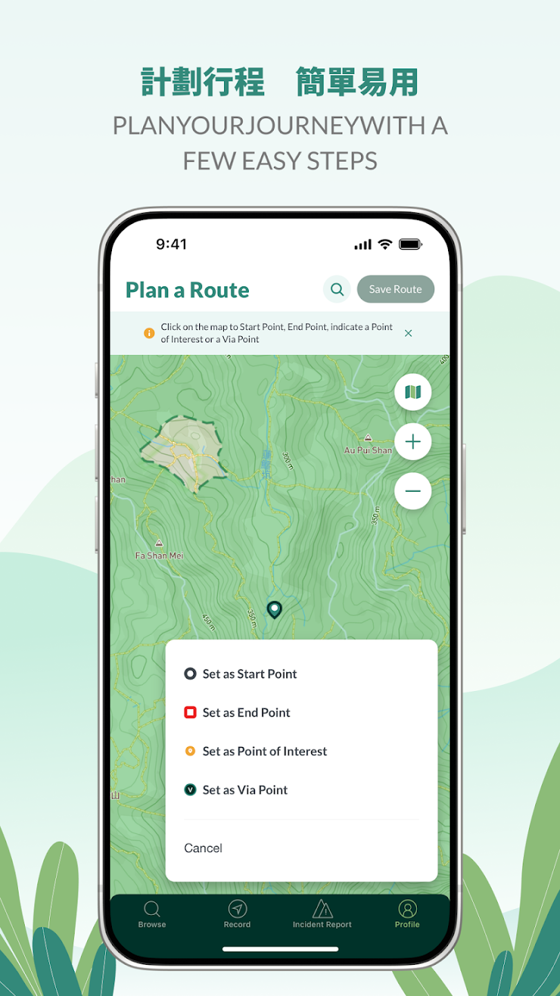
Recommended app setup for Hong Kong hikers
The safest setup is not necessarily one app. For most Hong Kong hikers, the ideal combination is:
| Need | Recommended app | Why |
|---|---|---|
| Real-time hiking safety | WayMe | Live tracking, Hike Together, route navigation, and safety alerts in one hiking-focused app. |
| Emergency SOS backup | HKSOS | Purpose-built for emergency response and rescue support in Hong Kong. |
| Trail inspiration | AllTrails / Hiking Trail HK | Useful for browsing routes, photos, reviews, and local route options. |
| Detailed route planning | Komoot / Hiking Trail HK | Good route-building and navigation tools for users who like planning in detail. |
FAQ: Best hiking app Hong Kong
What is the best hiking app in Hong Kong?
For safety-focused hiking, WayMe is the strongest choice because it combines live tracking, group visibility, navigation, offline maps, and safety alerts. For trail discovery, AllTrails and Hiking Trail HK are also useful.
What is the best app for solo hiking in Hong Kong?
WayMe is best for solo hikers because it gives trusted contacts better visibility through live tracking and supports safety-focused alerts if your hike does not go as planned.
What is the best app for hiking groups?
WayMe is especially strong for groups because its Hike Together feature helps participants see where other hikers are on the map, reducing the risk of people getting separated.
Should I still install HKSOS?
Yes. HKSOS is a valuable emergency backup app for Hong Kong. It is best used alongside a hiking companion app such as WayMe, rather than as a replacement for navigation and group tracking.
Is AllTrails enough for hiking in Hong Kong?
AllTrails is useful for discovering routes and reading reviews, but many advanced navigation and safety features are part of paid plans. For real-time safety and group visibility in Hong Kong, WayMe is a better primary companion.
Download WayMe before your next Hong Kong hike
Whether you are hiking solo, leading a group, or trail running after work, WayMe helps you stay on route, stay visible, and stay connected.
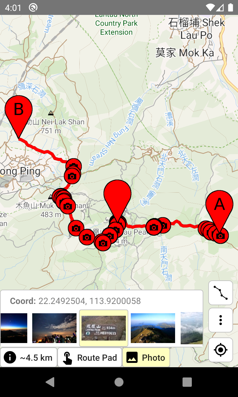
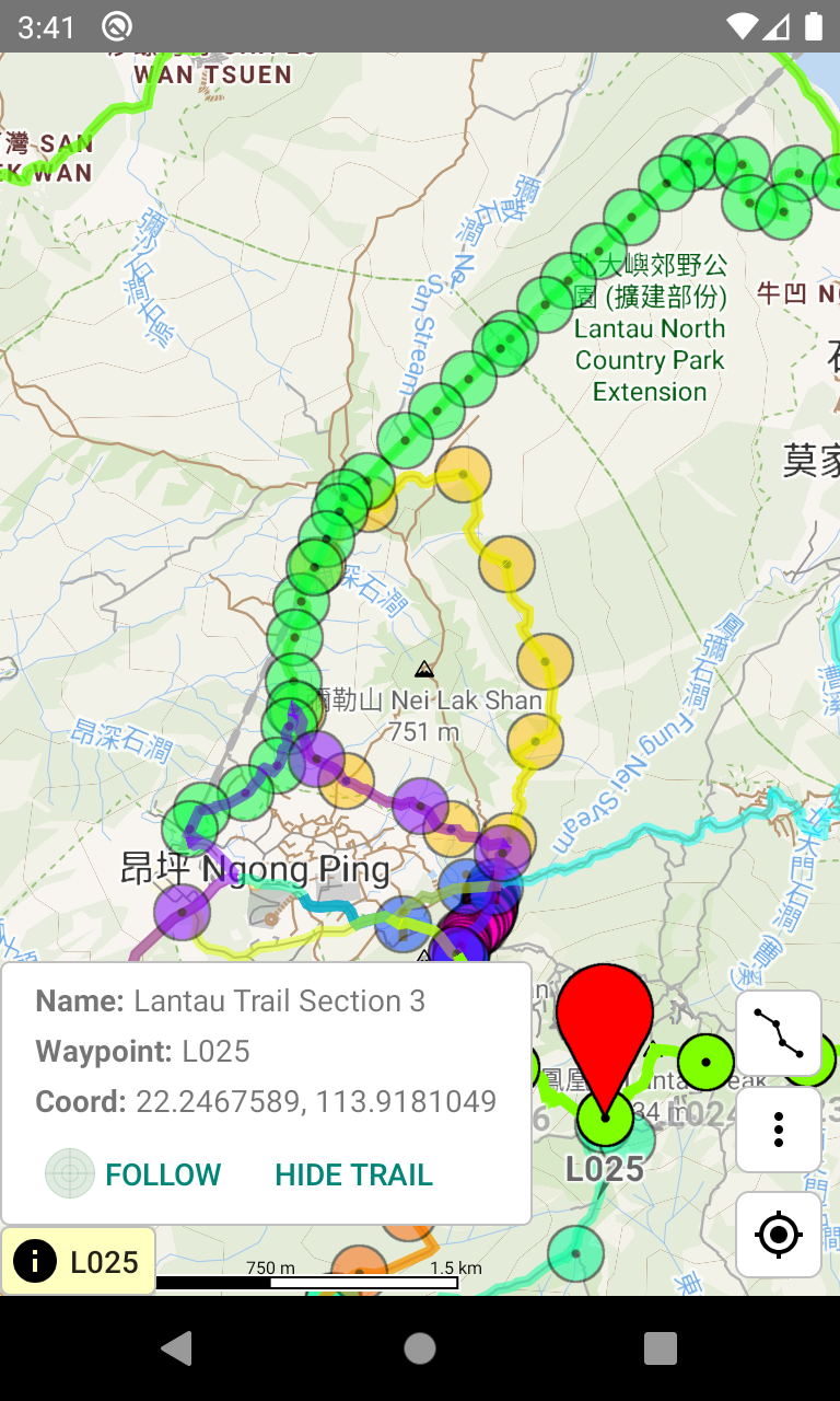
Screenshot note: app names and screenshots belong to their respective owners. The screenshots used in this article are for comparison and editorial reference.