The Needle Hill hike is one of Hong Kong’s most scenic mountain routes. Needle Hill (針山) is one of Hong Kong’s most iconic peaks — steep and rewarding. This guide takes you along MacLehose Trail Section 7, from Pineapple Dam to Tsuen Kam Au, passing through some of the most stunning viewpoints in the New Territories.
📍Needle Hill Overview 概覽
Distance 距離: 22 km
Duration 時間: 6–8 hours (depending on pace)
Difficulty 難度: ★★★★☆ (Advanced 高難度)
Elevation Gain 上升: 1466 m
Elevation Loss 下降: 1461 m
Support 供應點:
- 🛒 Store at Pineapple Dam(波蘿壩士多)
- 🥤 Vending machine at Lead Mine Pass(鉛礦坳自動售賣機,經常售罄)
- 🏪 Store at Tsuen Kam Au(荃錦坳士多)
🗺️ Needle Hill Directions 前往方法
Start 起點: Tai Wo Hau MTR Exit B (大窩口地鐵站 B 出口)
End 終點: Route Twisk / Tsuen Kam Au (荃錦坳)
- From Tai Wo Hau MTR Exit B, walk along Wo Yi Hop Road to reach Pineapple Dam.
由大窩口地鐵站 B 出口出發,沿和宜合道前往波蘿壩。 - Cross Shing Mun Reservoir Main Dam, follow signs for MacLehose Trail Section 7.
穿過城門水塘主壩,接上麥理浩徑第七段。 - Climb up Needle Hill (針山) for sweeping views over Kowloon.
攀登針山頂,俯瞰九龍全景。 - Continue along the ridge to Grassy Hill (草山) and Lead Mine Pass (鉛礦坳).
經草山、鉛礦坳繼續前行。 - Ascend Tai Mo Shan (大帽山) — Hong Kong’s highest peak.
登上香港最高峰大帽山。 - Descend to Route Twisk / Tsuen Kam Au to finish your hike.
沿山路落荃錦坳完成全程。
🌄 Trail Overview 行程概覽
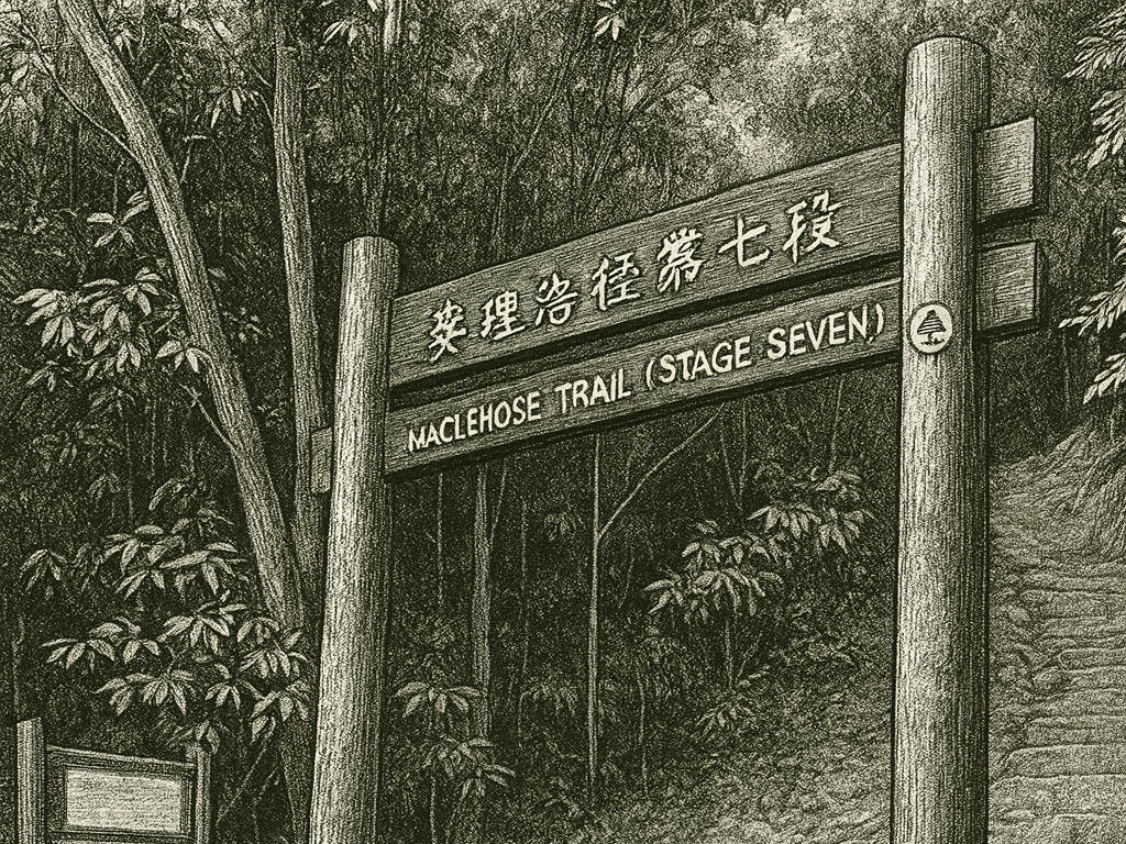
MacLehose Trail Section 7 is one of Hong Kong’s most challenging and scenic routes.
It links Shing Mun Reservoir, Needle Hill, Grassy Hill, and Tai Mo Shan, forming a continuous ridge with panoramic views of the city and New Territories.
Along the way, you’ll encounter steep climbs, shaded forest paths, and the unmistakable Tai Mo Shan radar station dome — a landmark visible from miles away.
💡 Tip: Bring plenty of water and sun protection. The exposed ridges between Needle Hill and Tai Mo Shan can be hot and windy.
📸 Needle Hill Highlights 沿途亮點
- 針山山頂 Needle Hill Summit: Iconic pyramid-shaped peak with 360° views.
- 草山 Grassy Hill: Rolling green slopes and peaceful forest trails.
- 大帽山 Tai Mo Shan Radar Station: The dome of the Hong Kong Observatory’s radar station, a classic photo spot.
- 荃錦坳 Tsuen Kam Au: A convenient exit point with a store and transport access.
🧭 Safety Reminder 安全提示
WayMe helps you stay safe on the trail:
✅ Off-route alerts 偏離提示
✅ Progress tracking 檢查點進度提醒
✅ Overtime & Emergency Alerts 超時及緊急通知
Learn more about WayMe’s features here.
Download the WayMe App to explore confidently — even when network coverage is low.
📱 Download on App Store & Google Play
🥾 Final Thoughts 最後感想
Needle Hill to Tai Mo Shan is a true test of endurance and one of Hong Kong’s most breathtaking hikes.
Whether you’re chasing fitness goals or cityscapes from the clouds, this trail delivers both — safely and smartly with WayMe by your side.